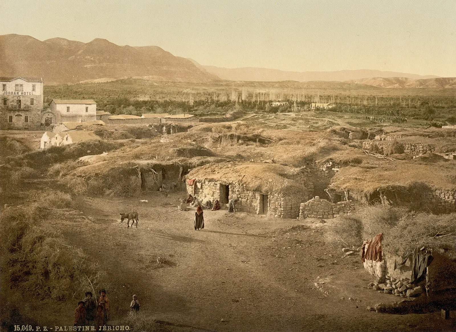
In the United States, the Detroit Photographic Co. sold the same views — the story of the two firms is told elsewhere — and the titles of its 1905 catalogue file them under two words, "Holy Land". The publisher captioned them otherwise: at the foot of the Jericho plate, in capitals and in French, "15,049. P. Z. – PALESTINE. JÉRICHO." The Library of Congress, which holds the prints today, keeps the Detroit titles and adds a bracketed locator of its own: "(i.e. Israel)" after Jaffa, "(i.e. West Bank)" after Jericho, and nothing after Jerusalem. We write "Ottoman Palestine": the name the plate itself carries, and the empire that governed what it shows.
Two jurisdictions, one series
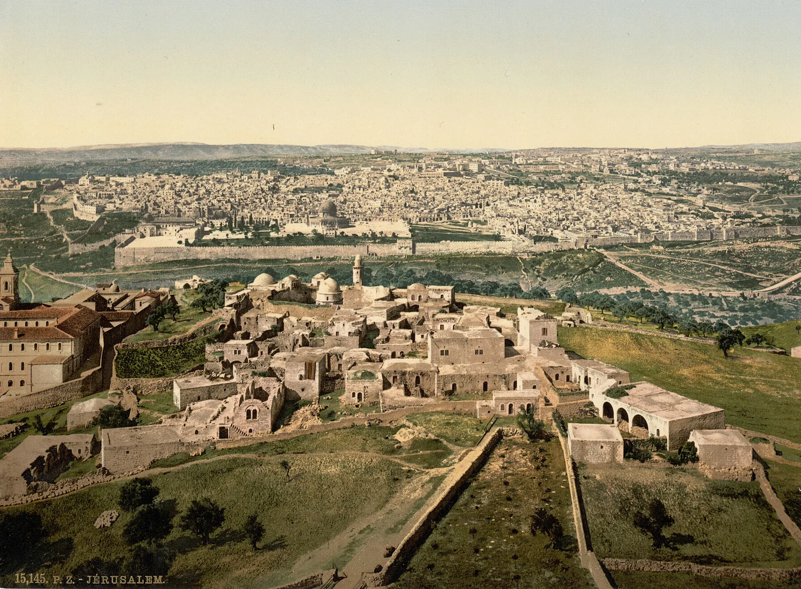
In July 1872 the Porte formed a province around Jerusalem that took in the sanjaks of Nablus and Acre; two months later, Acre and Nablus were split off again. Around 1900, then, Jaffa and Jerusalem answered to the Mutasarrifate of Jerusalem, under Constantinople's direct control, while Haifa and Tiberias belonged to the Sanjak of Acre, which had been moved into the Vilayet of Beirut in 1888. The publisher's numbering runs on both sides of the line: Jaffa is number 15001, Haifa 15077, the general view of Jerusalem 15145 — a single series.
The coast
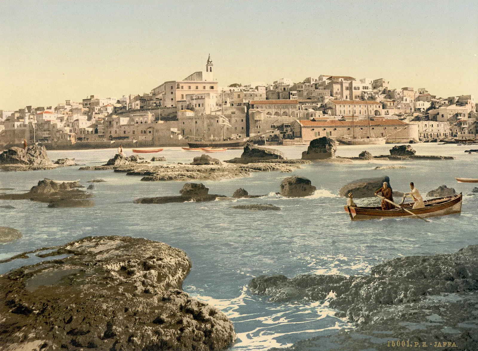
At Jaffa, the town climbs its hill, but the foreground belongs to the reef, where two oarsmen and a boy are working a boat between the rocks. The port had no deep-water basin: ships anchored offshore, passengers and cargo came ashore in small boats, and the last few yards were sometimes covered on a porter's back. The plate shows neither the ship nor the traveller. What it shows is the rocks that had to be rowed past to reach land.
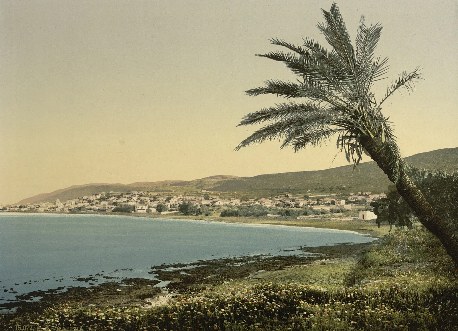
At Haifa, the photographer stood on the shore under a leaning palm. The town is a single band of low houses between the bay and the slopes of Mount Carmel, and flowers fill the whole foreground.
Inland
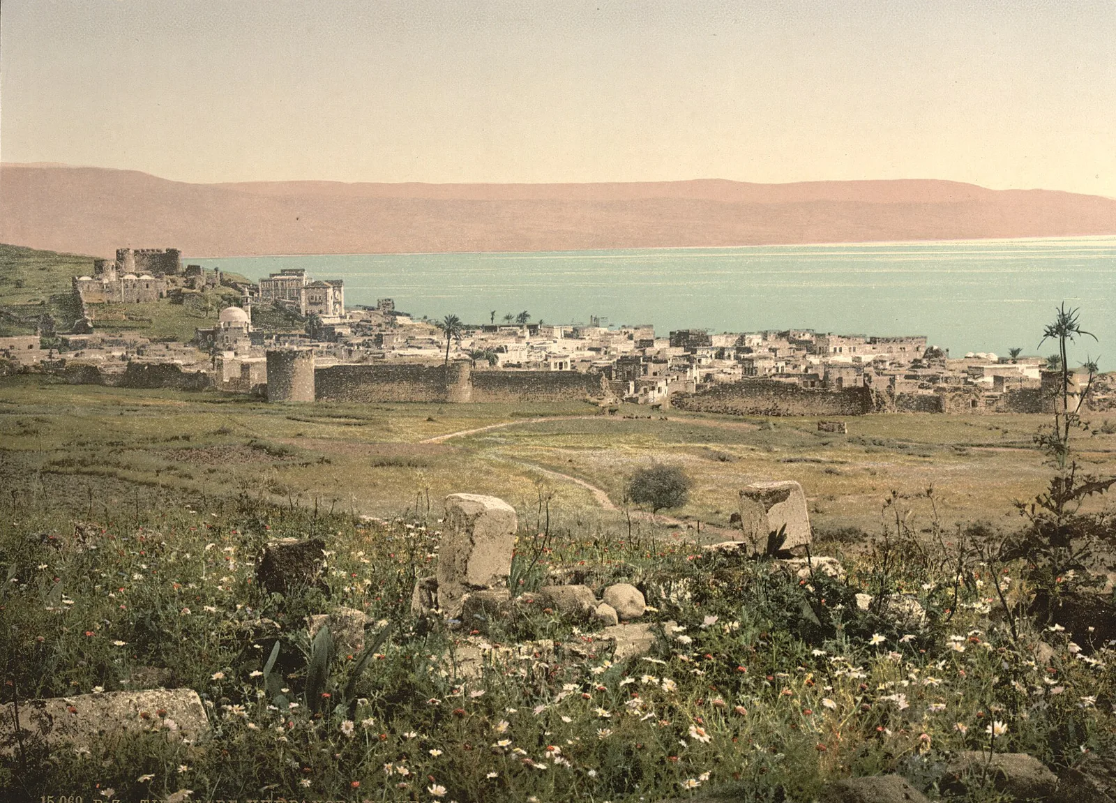
Tiberias sits inside its walls and their round towers, with a fort on the rise, the lake behind, and the hills of the far shore coloured pink. At Jericho, low stone houses roofed with earth and brushwood face a square of beaten ground that a donkey is crossing; on the left, a building of several storeys carries a sign in capitals, "JORDAN HOTEL". The traveller already had somewhere to stay.
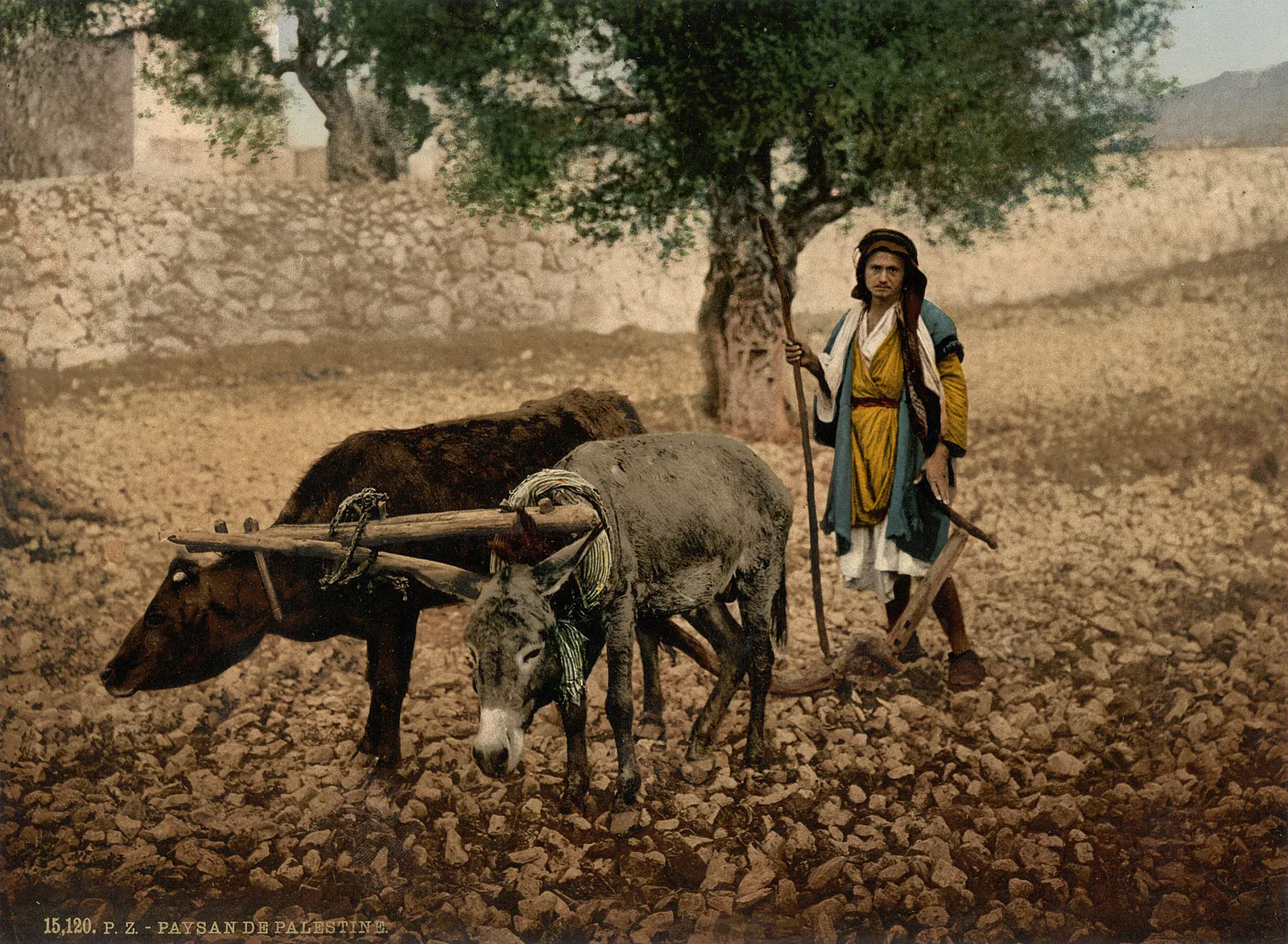
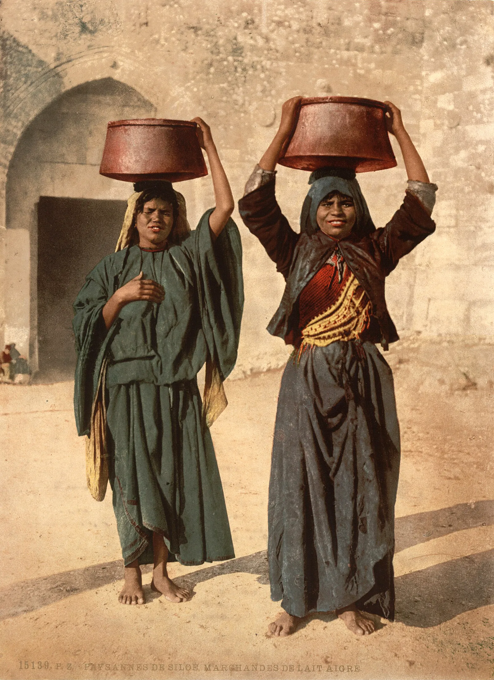
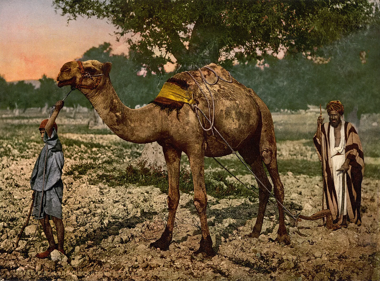
Then the fields. On the Plain of Esdraelon, it is a camel that draws the plough, with a boy holding the rope. Elsewhere a farmer ploughs with an ox and a donkey under one yoke, and the caption names no town or village: "PAYSAN DE PALESTINE", a peasant of Palestine. And two sour-milk sellers from Siloam stand barefoot before an arched doorway, each holding a wide basin on her head.
And Jerusalem
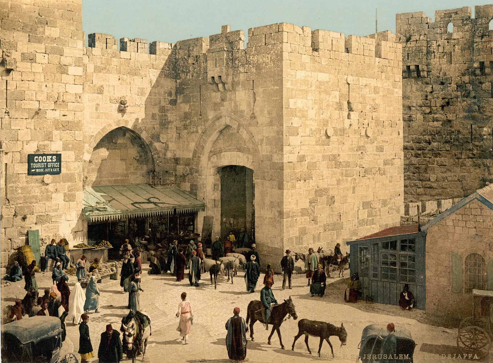
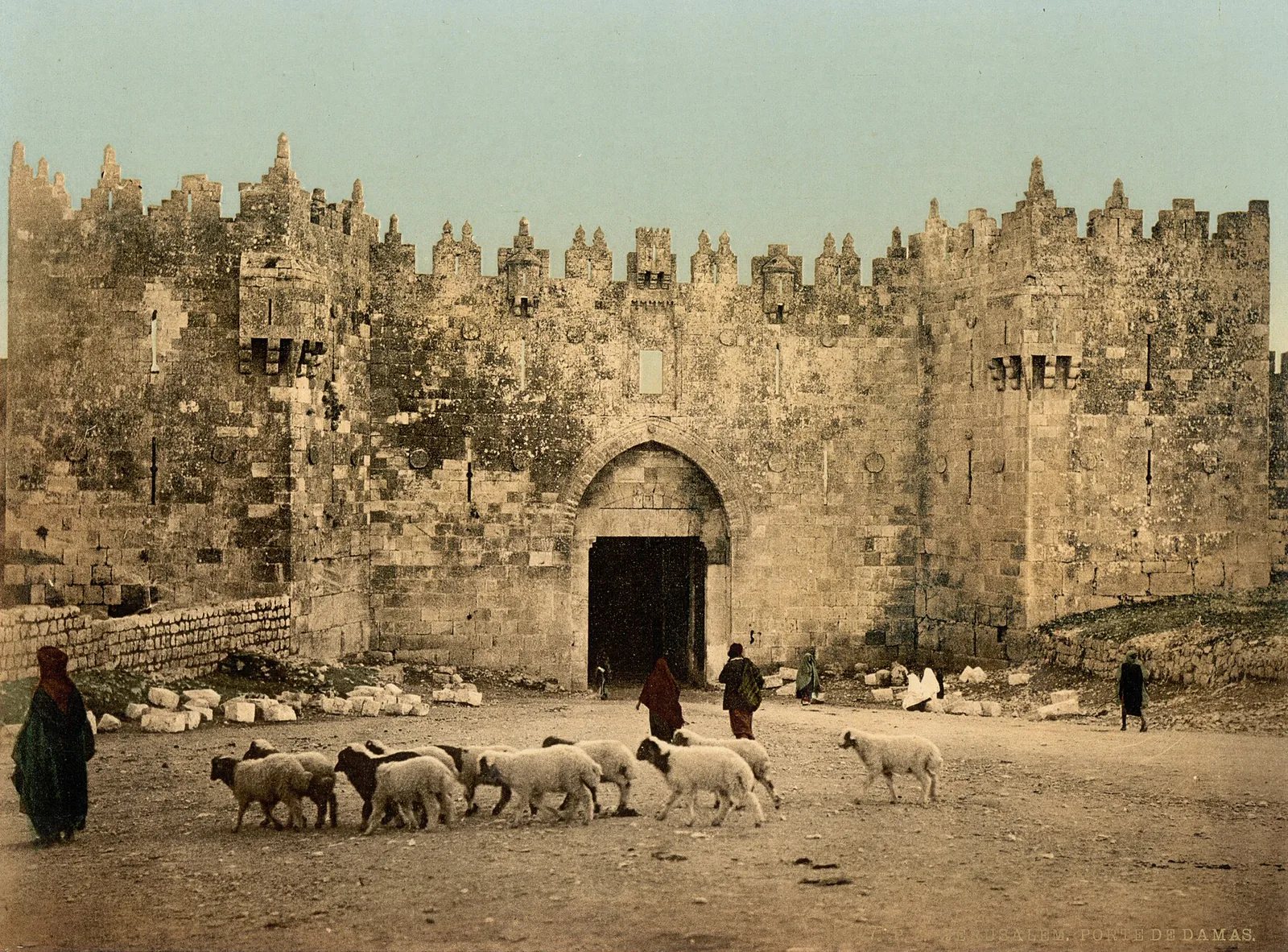
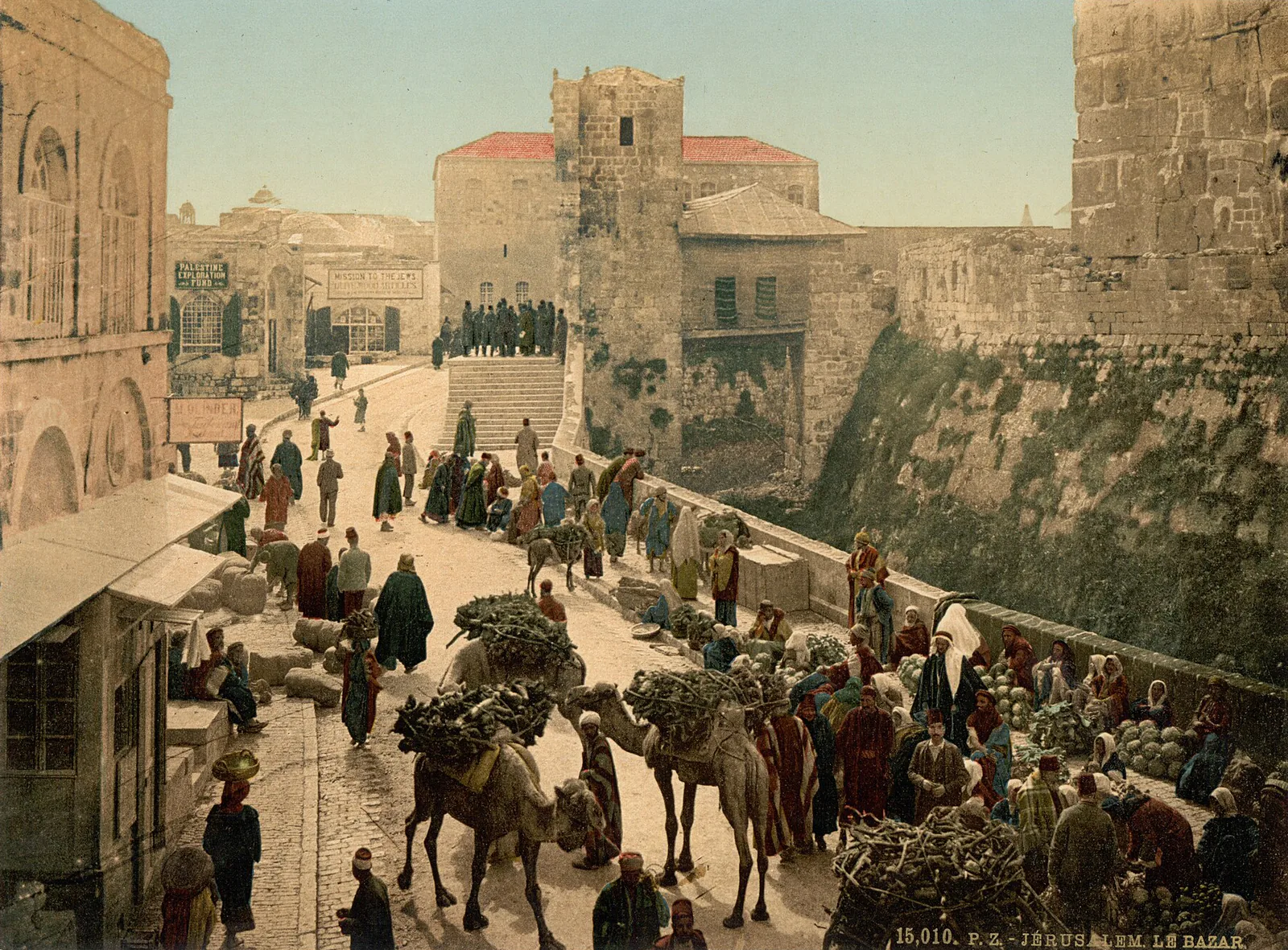
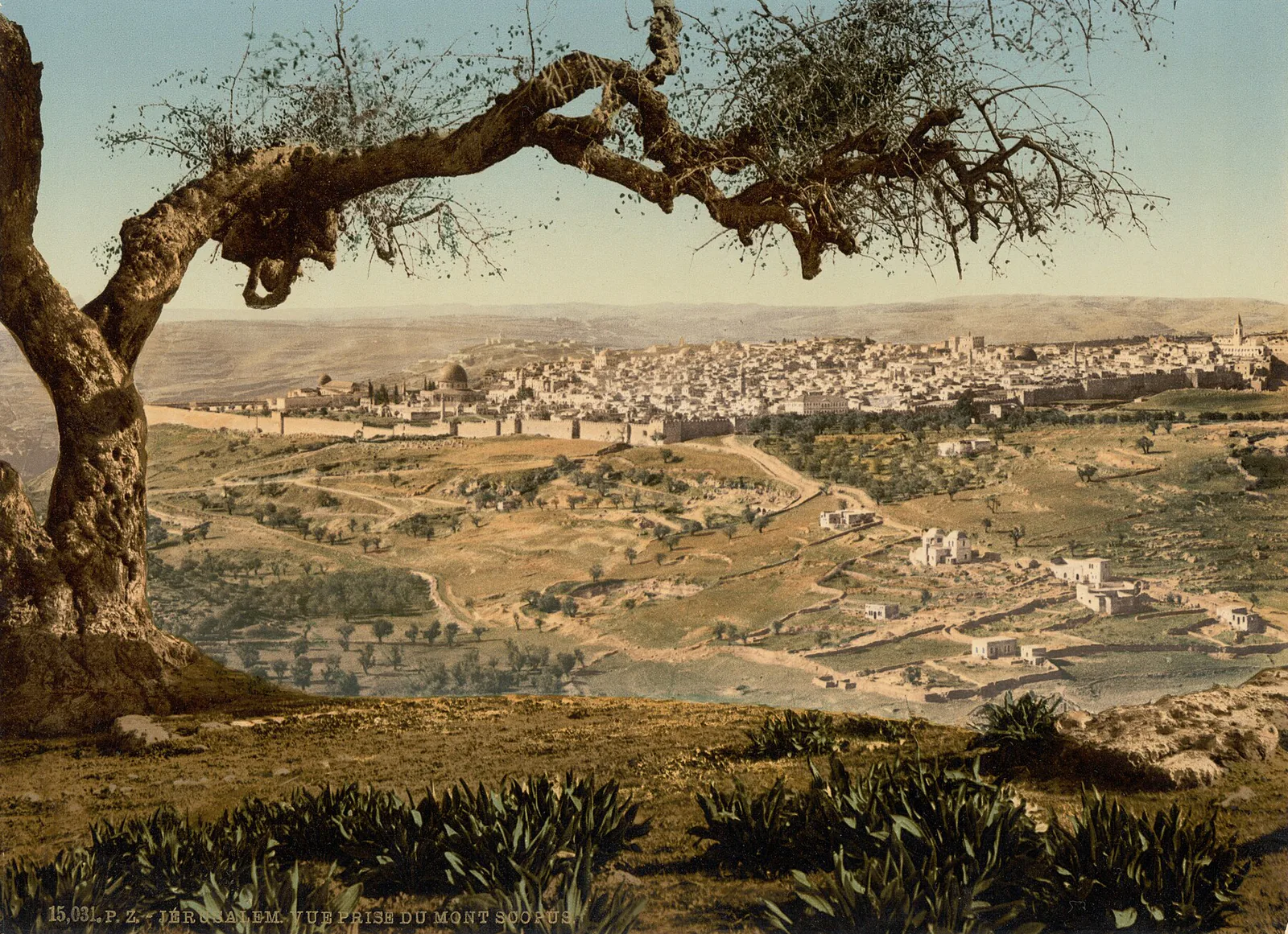
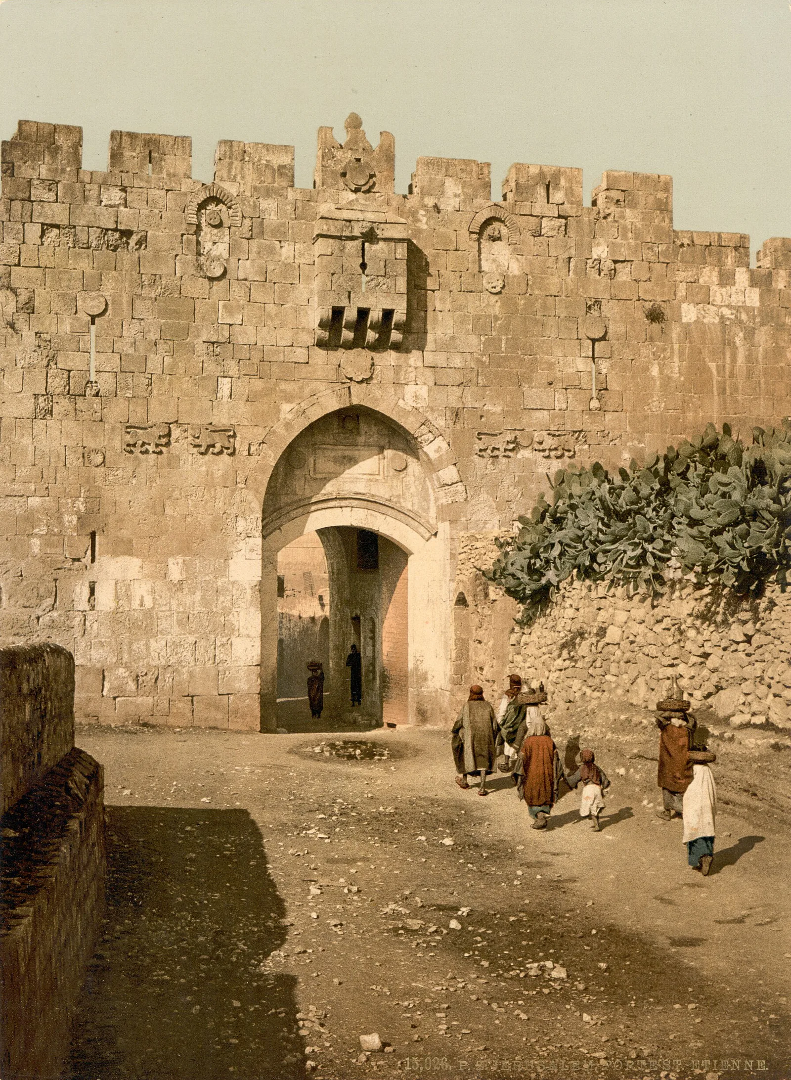
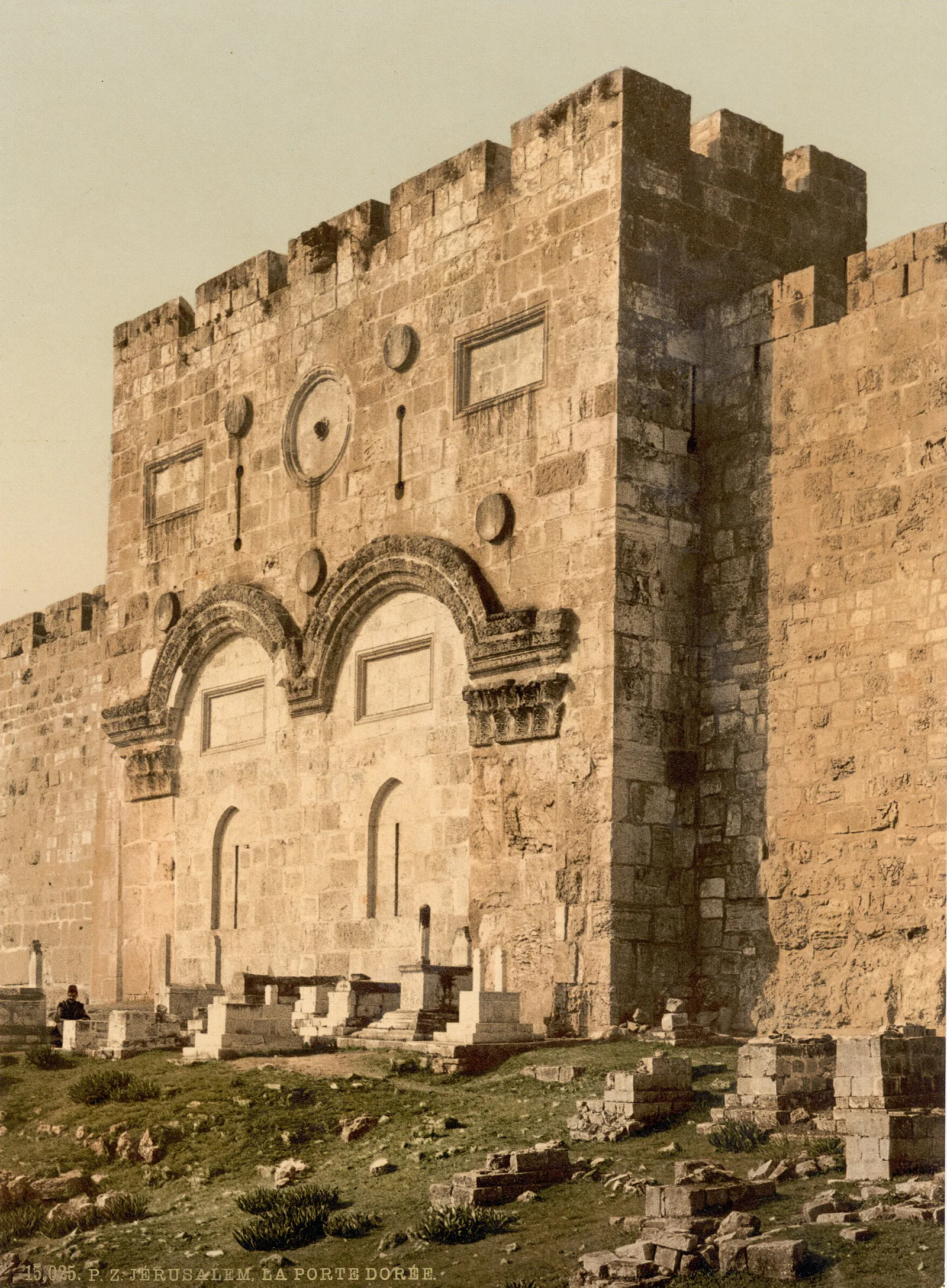
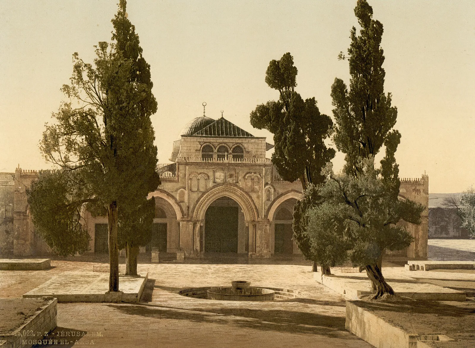
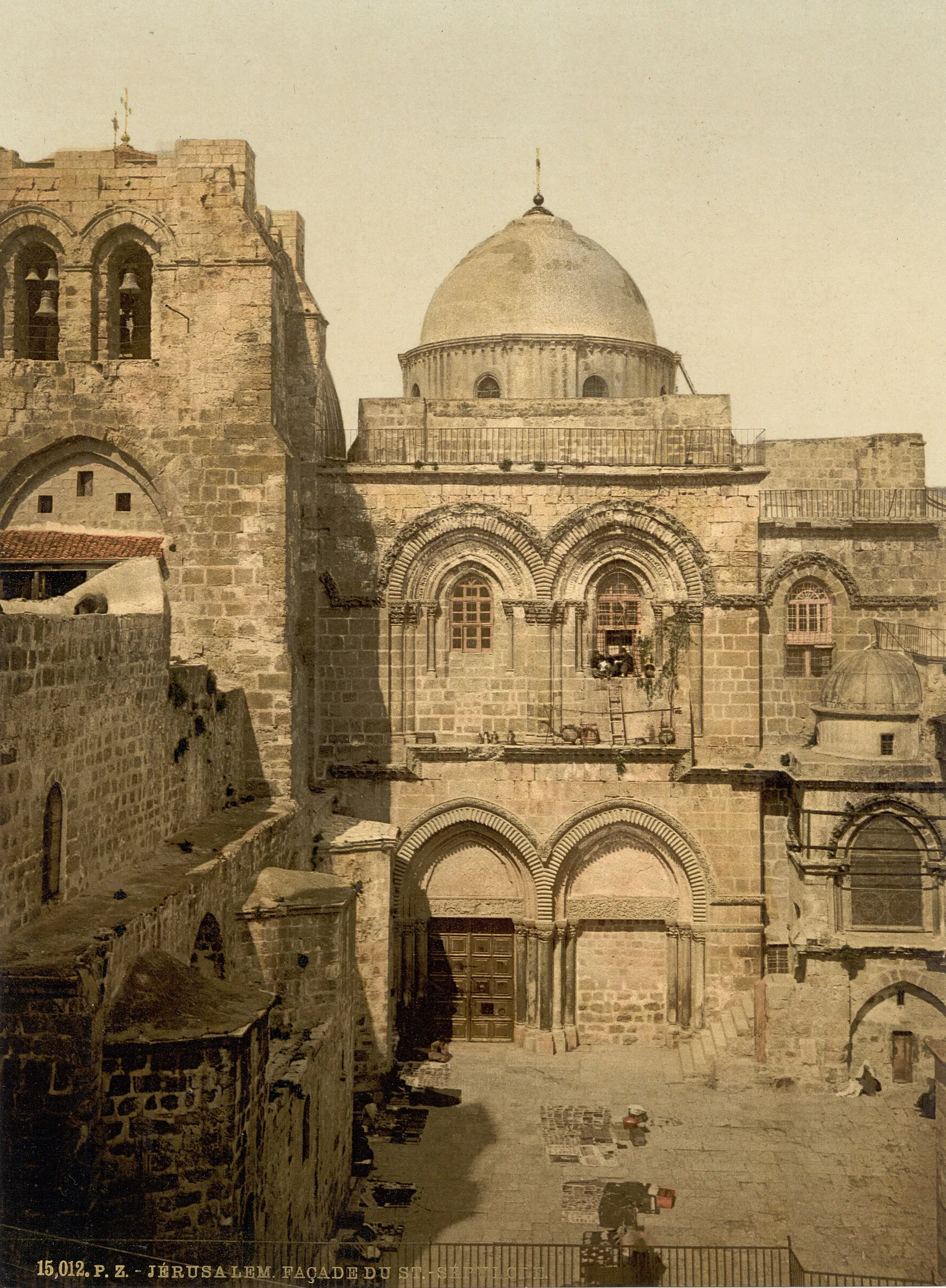
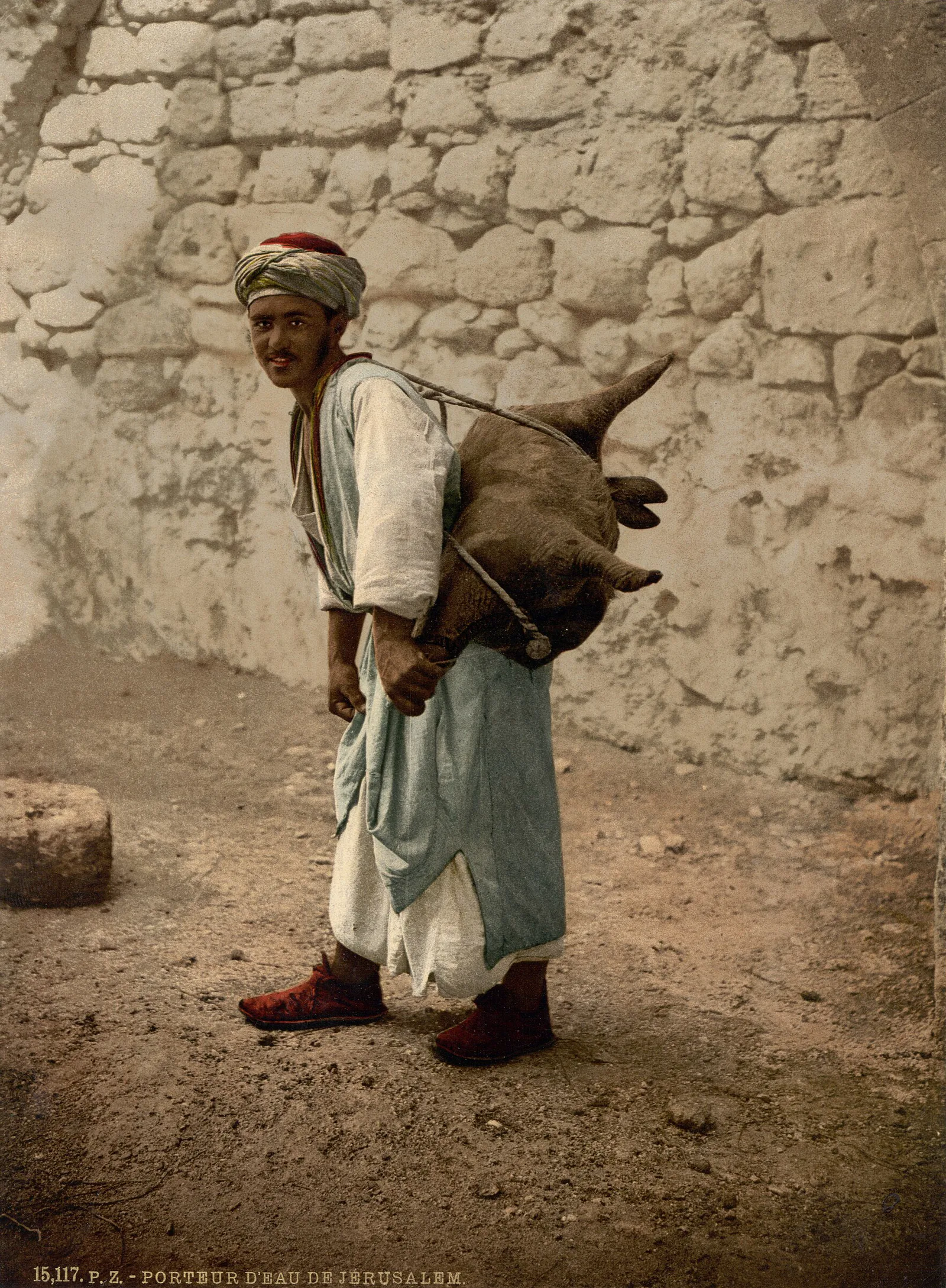
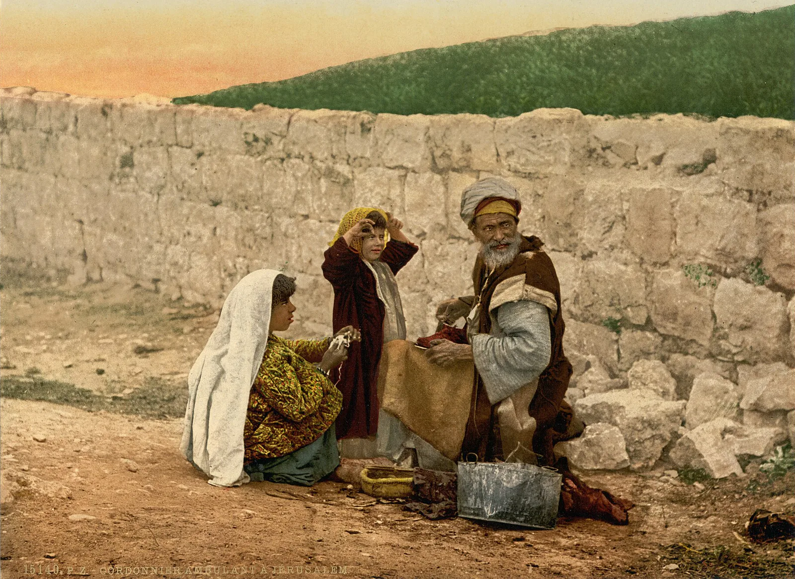
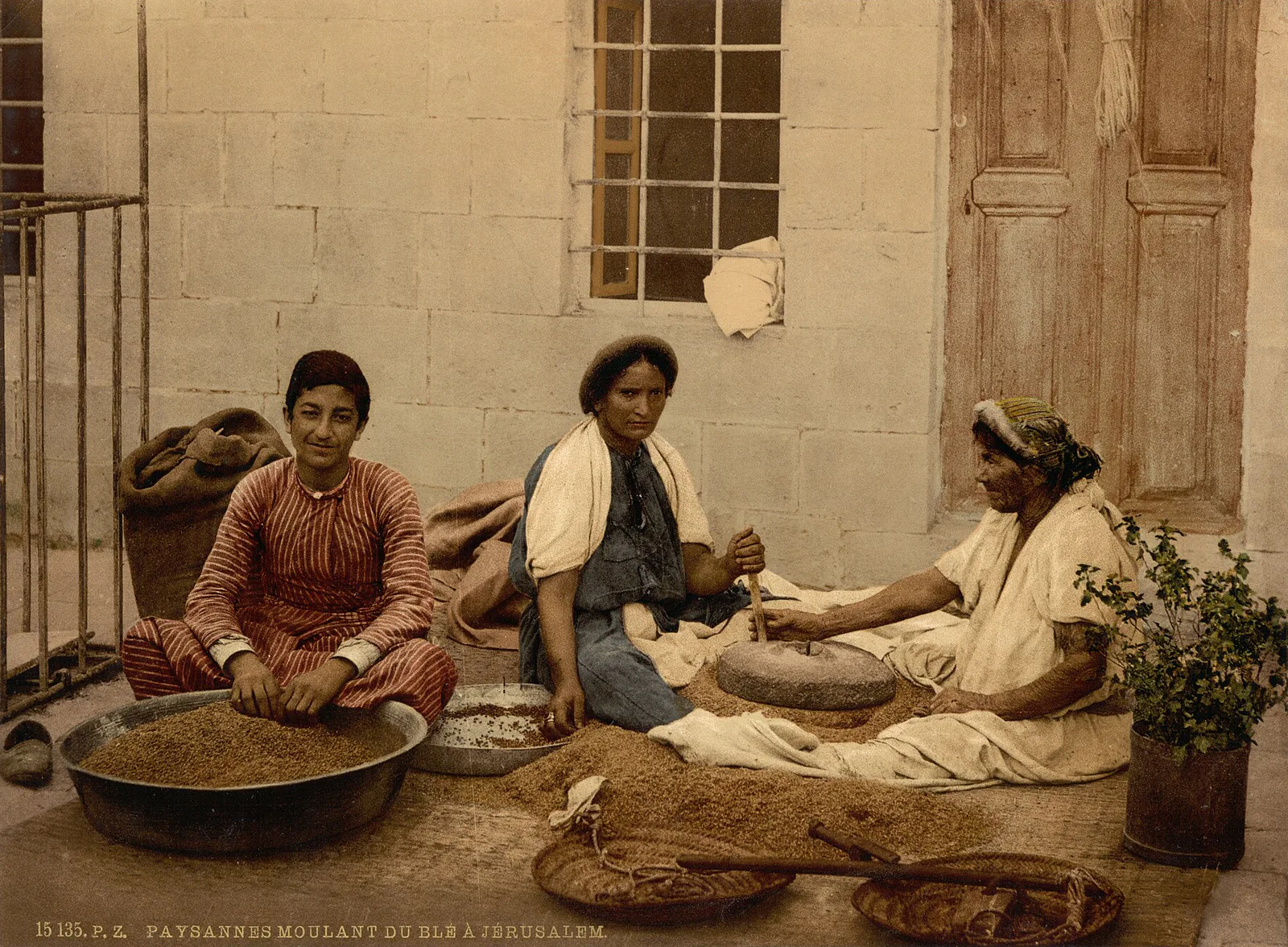
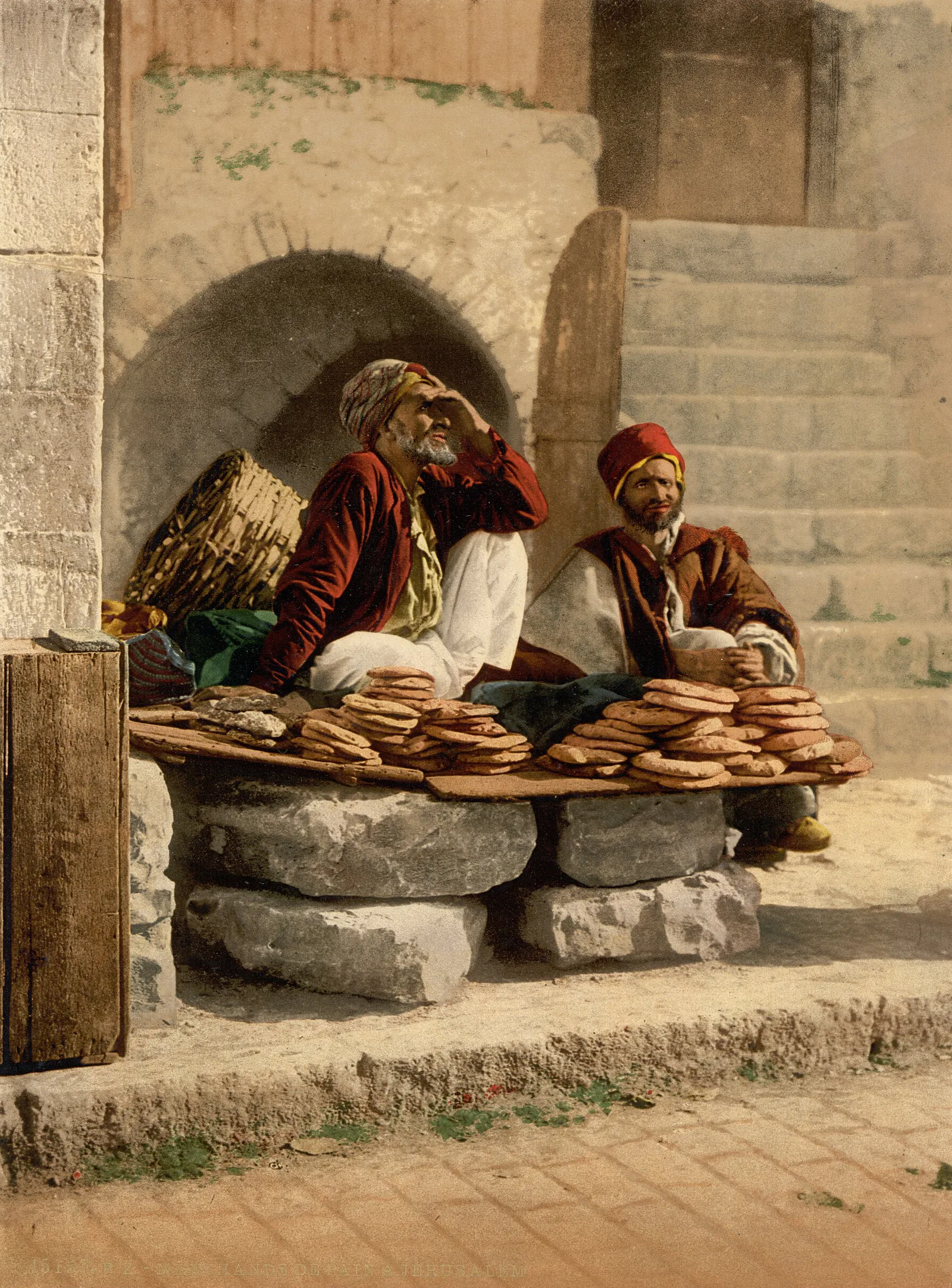
These views were made to be sold, and their colours are a workshop's decision rather than a record of the scene; our piece on the photochrom explains how. Jerusalem alone accounts for the largest share of this group, and has a piece to itself, Ottoman Jerusalem, Through Its Gates and Skyline, which also follows the city's street trades.